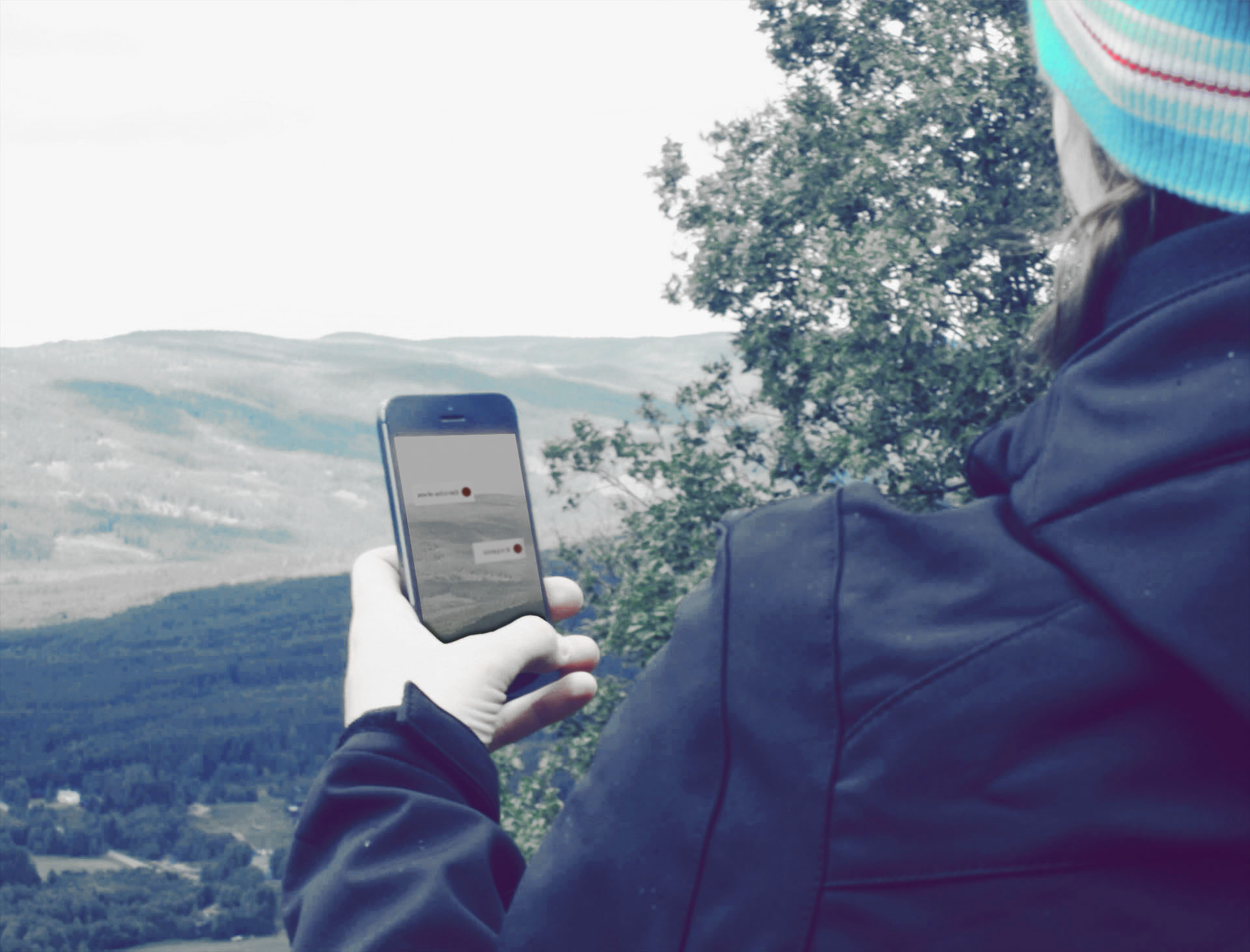
Glarengine is an augmented reality engine that adds various layers of geolocation information to the device's camera preview or a predefined 360º panorama image using the device's motion sensors and gps.
The graphics are displayed using OpenGLES which guarantees maximun performance and quality.
Glarengine was developed in collaboration with RQUER tecnología y sistemas.
Graphics based on OpenGL
We have recreated an environment where different kinds of 3d objects and tags overlap with reality.
Geolocation engine
Data contextualization based on GPS reception.
Motion sensors
The device sensors provide information to determine it's orientation within the 3d environment.
Sensor Data Fusion
An algorithm performs the correct sensor fusion to provide an accurate and seamless experience.
Server provided data
Precomputed geografic information is received using a dedicated server.
